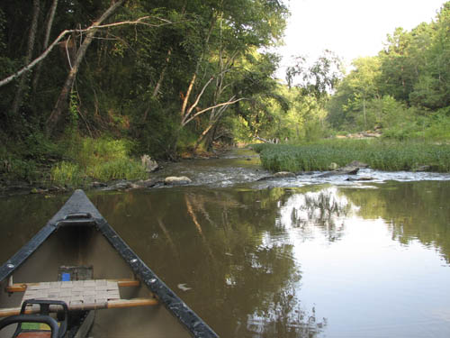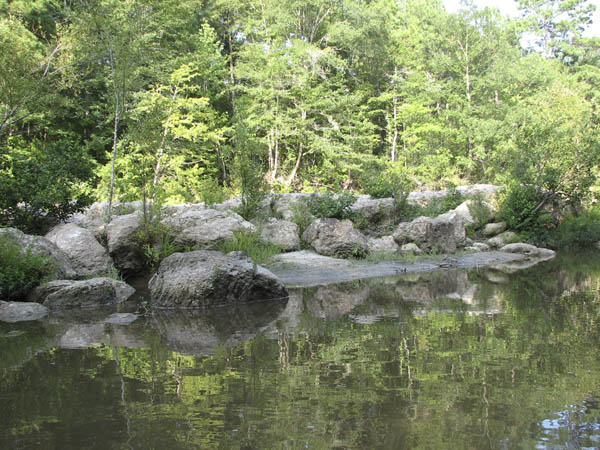
The Louisiana Department of Wildlife & Fisheries has graded Toro Bayou as one of the best streams in Louisiana for it's clean water, natural beauty and wilderness characteristics. It is a natural flowing stream that relies on rainfall for it's flow, therefore it is not always runable. To see the current level, click here. Find Toro Bayou on the map. If it is over 25%, it is runnable. The ideal level is 70%. ABOVE 90% IS DANGEROUS!

Toro
Bayou trips offer
several options
depending
on the water
levels
and distance you wish to
paddle.
Click on the section titles to view a map of that section...
-
Section 1 - This is the uppermost portion of Toro serviced by TAP. Put in is at the Hwy 473 bridge, and take-out at the 'iron' bridge on Toro Rd. This trip is remote, and 7.5 miles long. Due to the distance and remoteness, a minimum of two canoes are required for this trip. The canoe trail in this section is not maintained, and may require some portaging. It is only floatable in the early spring or after a heavy rainfall. The shuttle fee will be determined when the trip is booked.
-
Section 2 - The put in is at the 'iron' bridge on Toro Rd., and the take out is at the bridge on Hwy 392 near the TAP outpost. This section is 5 miles, and is the most popular section. There are several class I rapids in this section, and plenty of white sand bars along the way. It is protected from the wind, and has good shade from overhanging trees. The shuttle fee will be determined when the trip is booked.
-
Section 3 - Put in at Hwy 392 bridge and take out at the boat ramp on the spillway canal. This is the shortest section we service at approximately 3 miles. The confluence of the warm, easy flowing Toro with the cold, swift water of the flood canal creates a mixture ideal for striper bass fishing. When you add the rock shoals, section 3 offers not only contrasting river flow, but terrain as well. This section can be combined with Section 1A or 1B of the Sabine River trips to extend the distance. The shuttle fee will be determined when the trip is booked.
Click on thumbnails to view larger image...
This Page edited: 8/29/12
All content copyright 2005 - 2014
Contact Webmaster to report problems with this page.
A SmartBuilt Website


